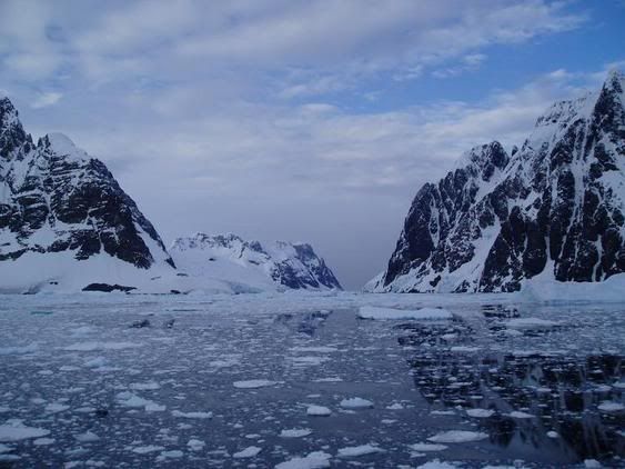
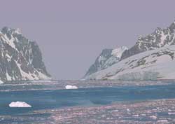
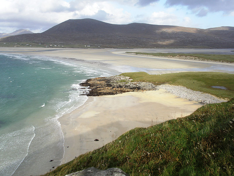
The Andaman Islands is a group of islands located on the bay of Bengal. Making it politically a part of Andaman and Nicobar Islands union, which is a territory of India. Geographically, Thailand and Burma are much closer to the Andaman Islands than India. The Andaman chain of islands includes about 301 islands in which most of them are inhabited. These islands are gifted with sandy beaches, clear sea water, and coral reefs.
The population of Andaman Island is inhabited by 380,000 people, and in which most of them migrated from the Indian mainland. Interestingly enough, the original islanders ethnically do not belong to India. There are around 1,200 of these original islanders which are called ”adivasis”. The total land area of these islands is about 2,500 square miles. These islands are blessed with unlimited amount of marine stock. Recently a ban on catching sharks was imposed because fishing sharks was a major industry. Resulting in the exhaustion of sharks in the sea. Recently, the islands were severely hit by Tsunami because of their relative closeness to Sumatra which was also hit by earthquake. This unanticipated disaster took the lives of 4,000 people. However, the Andaman Islands were always filled with tourists all over the world because of its gifted nature and beautiful beaches. There are several services for the tourists provided by the government of India, like Scuba diving, surfing and boats. Sea food is the best order from the luxurious restaurants to the local restaurants along with alcohol. Also, make sure that you are well covered with blankets while sleeping because it is a malarial area.
The Andaman Islands is best reached by using an airplane from India which lands exactly in Port Blair. An alternative way to reach the islands is through a cruise available from India. Most of the visitors prefer to stay at Spartan Guesthouse which is where one would get luxurious accommodation.
The life on Andaman Islands is like the one in the tropical areas, which means SLOW PACED AND RELAXED.
“The waves of desire in the world-ocean are intoxicating wine”- GURU GRANTH
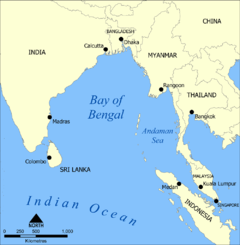
Andaman Islands on the Bay of Bengal